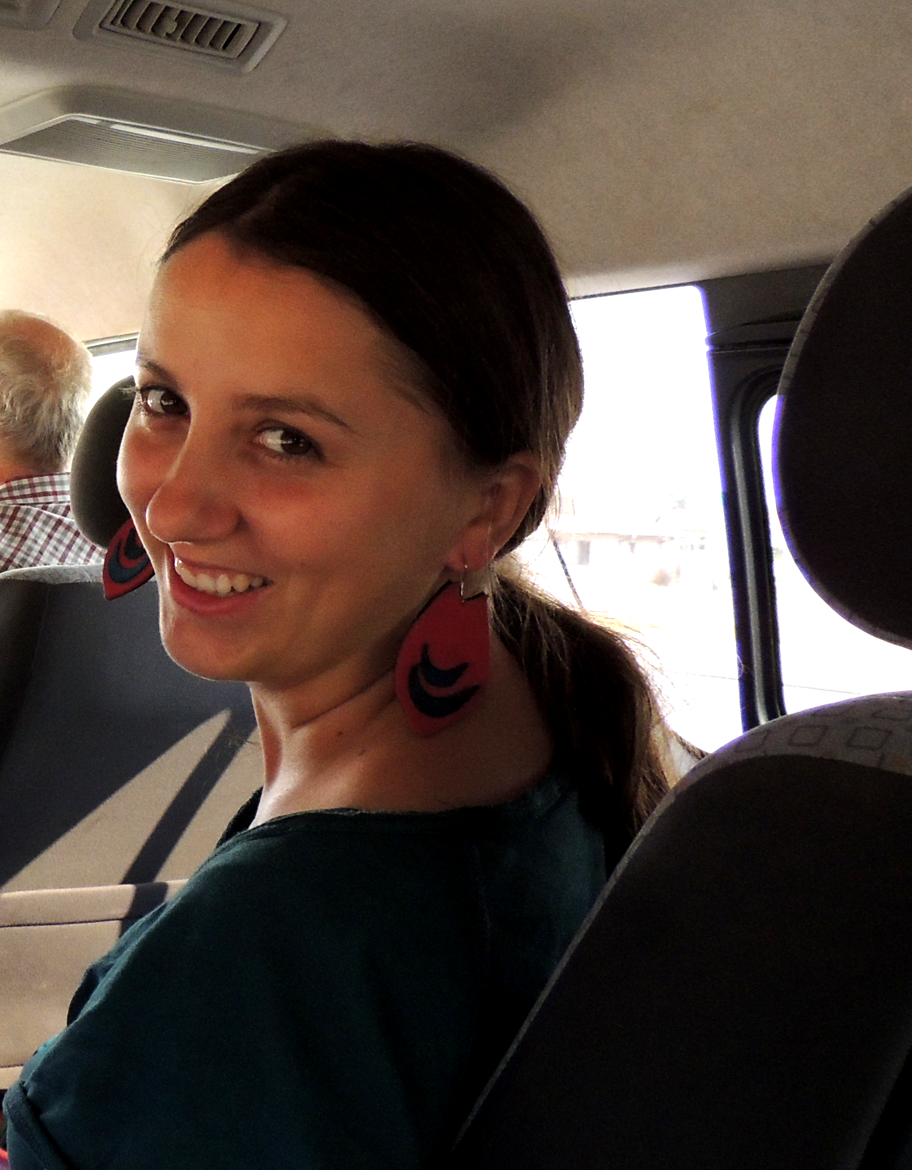
Teodora Enache
Young Academy Alumni
Universität Potsdam
Contact
Starting date: 1st April 2018
Supervisors: Bodo Bookhagen (UP), Niels Blaum (UP)
Project: Flood and drought monitoring in the Cuvelai Basin using microwave and optical data
My doctoral project focuses on the analysis of remote-sensing data to decipher floods, droughts, and their environmental impacts in the Cuvelai Basin in Namibia. The Cuvelai Basin is a complex environmental system which spans from southern Angola to northern Namibia. The geological features of the study area consist of alluvial sediments with high clay content along with aeolian sediments leading to limited water infiltration in the Cuvelai Basin and often to high surface runoffs. As a result, broad, shallow pans fill with water and form a large network of rivers and lakes during the rainy season, known as the Oshanas. The region has only sparse instrumental meteorologic data and remote sensing analysis will add important constraints to understand the dynamics of the region’s water budget. In the Oshanas, population and vegetation are highly dependent on the scarce and ephemeral water resources.
The main problem within understanding the water resources in the Oshana system is that rainfall is variable and leads to short-time floods with unpredictably high levels. The floods are then followed by rapid evaporation and prolonged severe droughts, which decrease the crop and livestock incomes and lead to food insecurity.
Because both floods and droughts have signals that can be well captured in remote-sensing data across several parts of the spectra (in the visible and NIR, but also in passive microwave spectrum), this doctoral project aims to quantify the spatial-temporal extent of floods and droughts in the Oshana system from the 1980s until the present, using multispectral and radar imagery. Specifically, passive microwave data provide important (sub-) daily constrains for soil moisture and water availability. Previous studies did not consider in detail individual brightness temperature changes and decadal trends and did not perform calibration with in-situ measurements.
Planned are the following two (sub-)projects of the doctoral thesis: (1) an analysis of an optical time series to apply water masks and identify vegetation and surface-water dynamics of the Oshana system; and (2) an improved soil-moisture algorithm for this area based on fusing high-temporal resolution passive microwave data, high-spatial resolution optical data as vegetation proxy, and high-spatial resolution C-band radar data.

